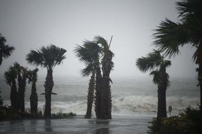
(Bloomberg) -- Cristobal, bringing heavy rain and gusty winds to Louisiana, has been downgraded to a tropical depression but is still expected to raise the threat of flooding from Mississippi to Wisconsin.
The storm’s travels in the Gulf of Mexico shut more than a third of offshore energy production there. Moving forward, though, farmers with parched fields in the western Midwest will gain from the downpours, said Don Keeney, a meteorologist with commercial forecaster Maxar.
“The net-net is beneficial for the crops, at least in the western Midwest,” Keeney said. “Minnesota, Iowa and northwest Wisconsin are certainly going to get some good rains.”
As Cristobal came ashore Sunday, parts of southern Louisiana were evacuated and President Donald Trump said he will sign an emergency declaration, which helps free up federal funds and resources. From 3 to 5 inches (8 to 13 centimeters) of rain could fall across a large swath of the Mississippi Valley in the next few days, according to the U.S. Weather Prediction Center.
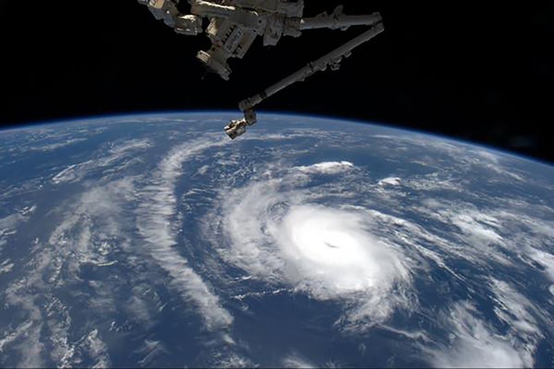
As Cristobal crossed the Gulf, larger weather patterns stretched out its shape, leading some of its worst impacts to occur well to the east of its track. Now, the storm is expected to merge with another system as it continues up the Mississippi River Valley. It will eventually transition into a powerful late spring storm as it crosses the Great Lakes into Canada, according to the hurricane center.
Cristobal is the third storm to form in the Atlantic this year, marking the fastest start to hurricane season on record.
©2020 Bloomberg L.P.

